
|
|
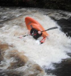 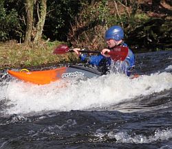 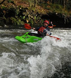 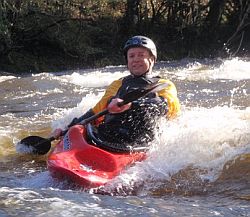 |
Dartmoor Rain Gauges & WaterlevelsFor a quick overview of water levels, with rivers shown on a map, visit rainchasers.com Dartmoor River Levels and EA Gauges Dartcom Rain Gauge is well trusted, although can be prone to over measuring if the wind is strong. After a long dry spell 20mm or more rain is needed, once Dartmoor is saturated 10mm can be enough: http://www.dartcom.co.uk/weather/index.php River Dart, The guage http://www.environment-agency.gov.uk/homeandleisure/floods/riverlevels/120723.aspx?stationId=3212 normally peaks 3-4 hours after Dartcom Rain Gauge reaches 10+mm, needs 30mins for runoff to get to Dartmeet, 60-90mins to Newbridge, runs off in 3-6 hours. About 0.64 on this guage means lapping the slab at new bridge. About 1.10 means running though 3rd Arch. About 0.47 is the lowest you want to run the Upper Dart - about 6 inches below the slab at Newbridge. Webcam: http://www.kayaksandpaddles.co.uk/dartcam.htm River Tavy at Mary Tavy, half way down the Middle Tavy, so a little after the fact, not unless you can get there in time, runs off in 1-3 hours: http://www.environment-agency.gov.uk/homeandleisure/floods/riverlevels/120719.aspx?stationId=3185. About 0.55 on this guage is minimum level for Hill Bridge to Harford Bridge section but but 0.65 - 0.80 is prime flows. However, above 1.0m things get silly because of dangerous trees. River Erme at Harford Bridge, at the putin of the run, thus again not too helpful if you are driving from a far, runs off in 2-4 hours: http://www.environment-agency.gov.uk/homeandleisure/floods/riverlevels/120723.aspx?stationId=3208. About 0.65 this guage means paddleable from Slot and Drop down through gorge. About 0.75 you can get on at Harford Bridge. Above 1.0m and things get full on! Liscombe, Exmoor Rain Gauge, is excellent for knowing the local rain fall close to the East Lyn catchment: http://www.weatheronline.co.uk/weather/maps/... East Lyn at Brendon, again a gauge at the putin for the upper section, thankfully the runoff lasts 3-6 hours. If to low from Brendon, putin at Watersmeet:http://www.environment-agency.gov.uk/homeandleisure/floods/riverlevels/120725.aspx?stationId=3099. About 1.48 on this guage is minimum for Watersmeet to the Sea section and 1.60 minimum for getting on on Brendon section. At 1.70 things get spicy in lower gorge and from 1.80+ the rest of river is high (ish) Webcams: http://www.farsondigitalwatercams.com/live-webcams/south/East-Lyn/ and http://www.access-technology.net/watersmeet/ East Oakment, on the gauge http://www.environment-agency.gov.uk/homeandleisure/floods/riverlevels/120720.aspx?stationId=3116 0.55 is about the lowest you want to run the river. The gauge up stream is useful for seeing when its rising but needs to be on 0.67 (0.67 is same as 0.55 on lover gauge) as minimum: http://www.environment-agency.gov.uk/homeandleisure/floods/riverlevels/120720.aspx?stationId=3101 EA Regional River levels: South West, Devon and Cornwall: Other Links: Met Office WOW site: http://wow.metoffice.gov.uk use PL21 (Princetown for location) Norweigen Weather System, YR for detailed info: http://www.yr.no/place/United_Kingdom/England/Princetown/hour_by_hour_detailed.html Independent Weather Stations: http://www.weatherstations.co.uk/aws_map.htm Sunrest & sunset times: http://www.timeanddate.com/worldclock/astronomy.html?n=1358 Original information published by Simon Westgarth of gene17kayaking.com and Mark Allen of kayakguide.co.uk and is located in the files area of Mark Allen's Kayaking the River Dart Facebook page. Reproduced here with kind permission of Simon and Mark. |
|
|